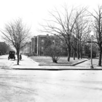
Monumentality in Microcosm
| RE-ENGINEERED GEOMETRIES |
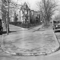
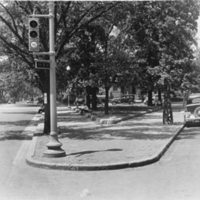
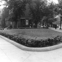
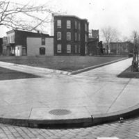
Over the course of two centuries, the geometry of individual triangle parks was changed to accomodate new modes of transportation. Roadway widenings shrunk plantable the square footage of many reservations. Revised traffic engineering standards introduced new curvature to park edges (see Reservation 27, 682 and 683 below). Oftentimes, triangle parks were extended or expanded into the roadway, creating larger pedestrian refuges and planting areas (see Reservation 90 below).
In 1948, over 300 triangle reservations were transferred from the National Park Service to the D.C. Government (after Historical Society of Washington, 2012). Its likely that as triangles formed part of the right-of-ways originally acquired in the late 18th century, the 1948 transfers were made to facilitate the management and expansion of roadways for automobiles. Numerous reconfigurations to right-of-ways date to this period, for example roadway widenings and tunnel underpasses (Barthold 1993; Bednar 2006; Colyer 1987). In the decades since, many triangle reservations have been sliced by turning lanes or ‘slips’ (Figures 13 and 25). In many cases, shrunken triangles lost their vegetative treatment and were paved over entirely (Colyer 1987). This is the case at Reservations 68A and 69A at Burke and Gompers Parks NW, which in the present day are two brick traffic islands but were planted with trees in 1921 (HABS No. DC-675).
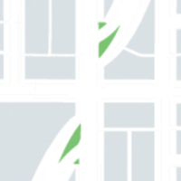
Reservations 682 & 683 (formerly 167 & 168), NW (Abad Ocubillo 2012)
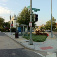
Reservaion 683 (formerly 168), NW (Abad Ocubillo 2012)
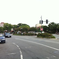
Reservation 22, NW (Abad Ocubillo 2012)
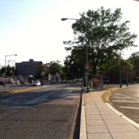
Reservation 160, NW (Abad Ocubillo 2012)
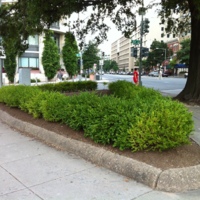
Reservation 27, NW (Abad Ocubillo 2012)
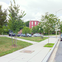
Reservation 90 (Abad Ocubillo 2012)
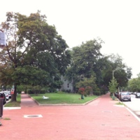
Reservation 86, NE (Abad Ocubillo 2012)

