Monumentality in Microcosm
| Suburbs: North-East |
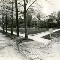
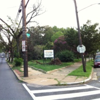
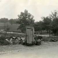
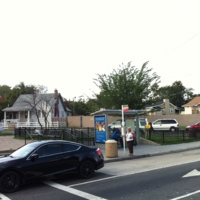
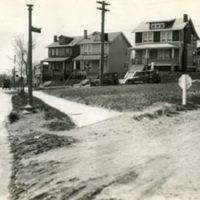
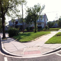
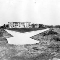
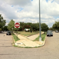
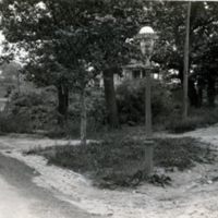
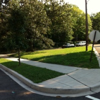
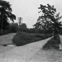
The street fabric beyond the historic planning boundary established by the 1791 L'Enfant Plan developed mostly during the middle 20th century. These NPS photographs from the 1920s and 1930s often show a relative lack of infrastructure such as paved roadways and sidewalks. Varied topographical conditions prompted an early 20th-century Subdivision Ordinance which allowed new streets to break from the historic grid. Thus triangle parks are distributed with far less regularity in the hilly nieghborhoods to the north and northeast of Washington, D.C. The topography of these triangle parks are far more varied than their counterparts in the relatively flat city center.

